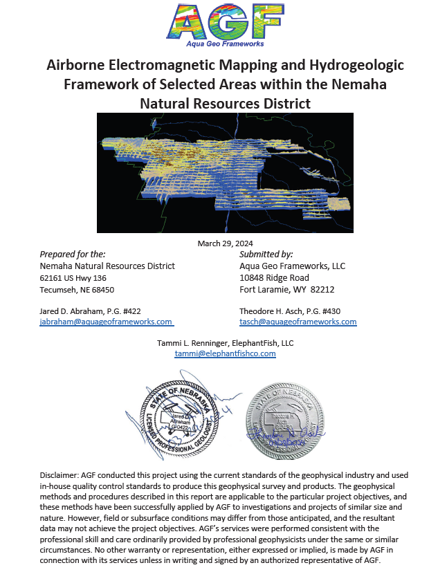
NRDS:__Nemaha NRD___
2023 Airborne Electromagnetic Survey (AEM)
![]() Several 2023 AEM surveys were flown by the Nebraska NRDs in the summer of 2023.
Several 2023 AEM surveys were flown by the Nebraska NRDs in the summer of 2023.
The Nemaha NRD and neighboring Lower Big Blue NRD were awarded Water Sustainability Fund (WSF) grant dollars for the upcoming 2023 surveys as well as the Middle Republican NRD ("https://nrc.nebraska.gov/water-sustainability-fund-0"). The resulting datasets from each of the NRD surveys will be uploaded to the Nebraska GeoCloud (NGC): "https://snr.unl.edu/csd/geology/AEM.aspx"). The NGC is a web-based digital platform for geophysical, geological, and groundwater data and models. The purpose of the NGC is to archive Nebraska’s vast volume of data and make it accessible to both model builders and model users.
Documents and Datasets
“Airborne Electromagnetic Mapping and Hydrogeologic Framework of Selected Areas within the Nemaha Natural Resources District”
![]() Report Text (PDF, 66 MB)
Report Text (PDF, 66 MB)
![]() Appendix 1 - 2D Interpretative Profiles (PDF, 73 MB)
Appendix 1 - 2D Interpretative Profiles (PDF, 73 MB)
![]() Appendix 2 - 3D Fence Diagram Images (PDF, 33 MB)
Appendix 2 - 3D Fence Diagram Images (PDF, 33 MB)
![]() Appendix 3 - Data Deliverables (file types vary, 1.15 GB)
Appendix 3 - Data Deliverables (file types vary, 1.15 GB)![]() Very Large Files
Very Large Files
Datasets
Google Earth Datasets:
The interpreted results for the 2023 AEM flights have been provided in Google Earth format. You can download the free version of Google Earth Pro by clicking here.
*Click here for a link to download the Google Earth datasets from ENWRA's Dropbox.
The link above provides ".kmz" files that will show the 2023 AEM flight line locations "as flown" and where data was chopped out from interferences ("retained") as well as interpreted ".kmz" files that show clickable data dots in Google Earth for all AEM lines in the Nemaha NRD (older AEM report deliverables were redelivered in this 2023 data report): NNRD23_Combined_Interp Pt1_v2.kmz and NNRD23_Combined_Interp Pt2_v2, Auburn_Interp_KMZ.kmz, and FirthSprague_Interp_KMZ.kmz. There are 284 associated image files (98 MB) linked to the data dots provided in the interpreted.kmz files.
You do not have to sign-up for a Dropbox account to download the files (download button shown below - sometimes written in fine print or shown as a down arrow symbol). You must have Google Earth installed on your computer before downloading or opening the .kmz Google Earth dataset files. If you already have a Dropbox account, please sign out before clicking this link and choose download so you do not fill up space on your personal Dropbox.
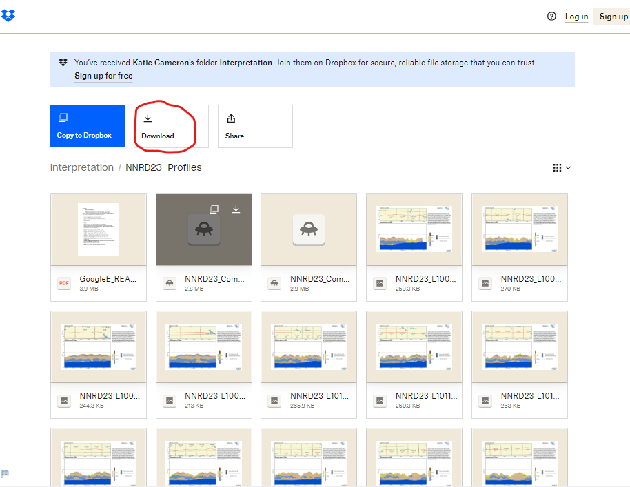
Please follow the instructions in the "GoogleE_README.pdf" PDF file on Dropbox here AND save the downloaded files with the same exact file structure as shown on the Dropbox onto your computer's C drive. See the video tutorials on the top of the Media/Downloads Tab for detailed instructions. Google Earth will look here on your hard drive: c:\NNRD23_Profiles, c:\Auburn_Profiles, c:\FrthSprg_Profiles for every profile image when you touch a link on a data dot - see example image below. An easy way is to do this is to select download (if there is a sign in pop-up, select "or continue with download only" at the bottom) from the Dropbox link and then go unzip the Dropbox file wherever your browser typically puts downloaded files (right click and hit extract). Once the folder has been unzipped, then cut, copy or drag the unzipped file folders called "NNRD23_Profiles", "Auburn_Profiles", and "FrthSprg_Profiles" directly onto your C drive.
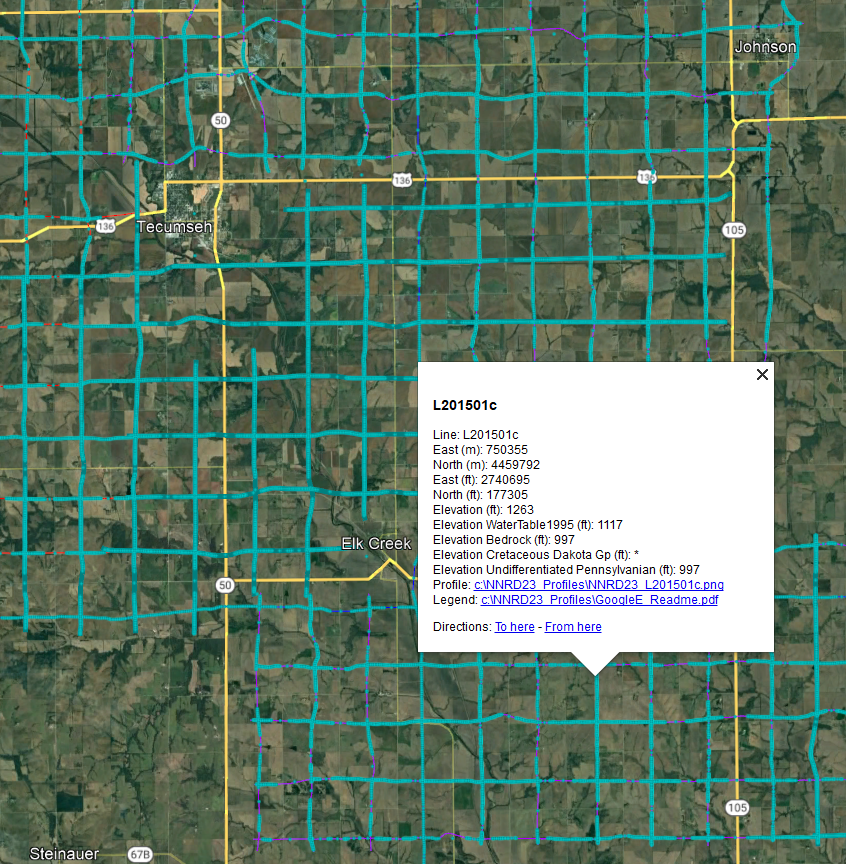
NOTE: You can view flight lines from some mobile devices if you have Google Earth but you need to use a Microsoft Windows computer to see the data and hot linked profile images. It is recommended to zoom into a road intersection first so the larger .kmz files don't take too long to load on-screen.